Kirkland walkability audit: a three-stage buyer plan
A home can sit half a mile from a grocery store and still feel inconvenient to reach on foot.
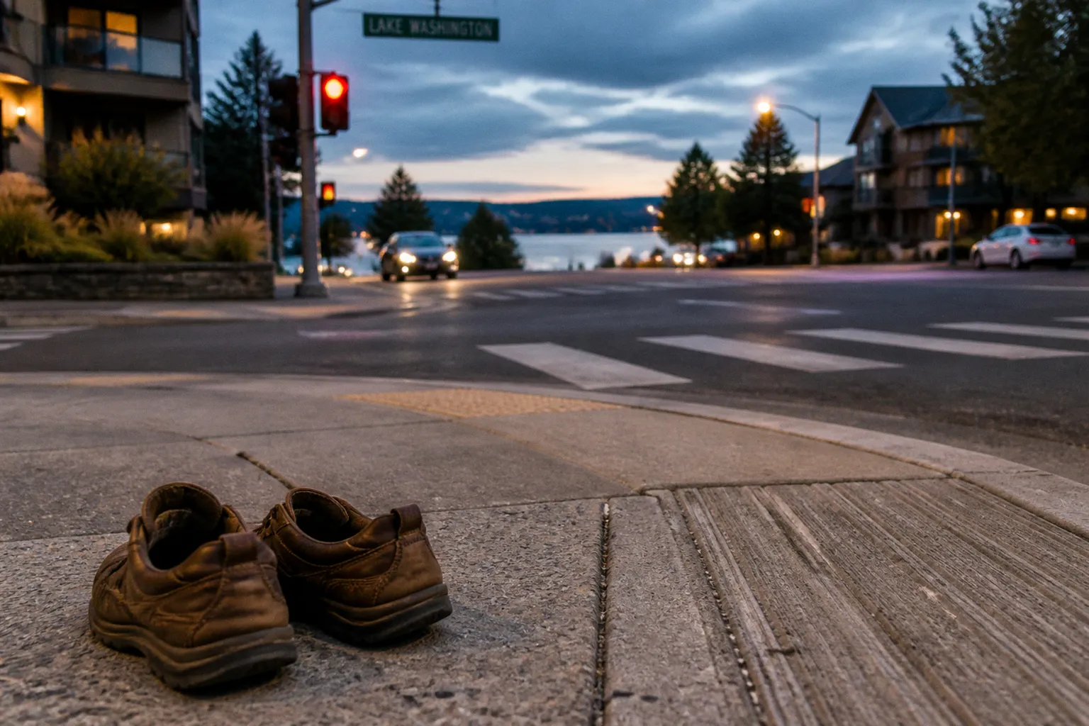
In Kirkland, the difference often comes down to details that do not appear in a listing: a missing sidewalk on a busy street, a steep grade between two apparently close destinations, a crossing that feels comfortable in daylight but awkward after dark, or a transit corridor that is planned rather than finished.
That is why a Kirkland neighborhood walkability audit should begin before you tour the house. Kirkland’s overall Walk Score is 51, but that citywide number conceals a very different experience from one neighborhood to the next. Moss Bay reaches 81, while Norkirk and South Rose Hill also rank among the more walkable areas; meanwhile, parts of Finn Hill and Rose Hill still have incomplete sidewalk networks and a distinctly more suburban rhythm.
The practical question is not simply, “What is the Walk Score?” It is: can you comfortably complete the routines that shape your week without starting the car every time?
Stage one: map the 10-minute neighborhood from your desk
Kirkland’s own planning framework gives us a useful starting point. Its “10-Minute Neighborhood” analysis defines walkable access as a roughly half-mile walk—about ten minutes—to daily destinations such as groceries, schools, parks, and other essential services.
That distance is a helpful boundary, but it should be treated as a walking route rather than a radius drawn with a compass. A home may be within half a mile as the crow flies and considerably farther by pavement, especially where streets curve around ravines, major roads interrupt the grid, or a hillside turns a short trip into a strenuous climb.
Before visiting a property, map the routes you would actually use:
- The nearest full-service grocery store, not just a convenience market.
- A coffee shop or casual restaurant you would visit on an ordinary weekday.
- The closest park, waterfront access point, or trail connection.
- Your likely bus stop and the route to work, school, or a regional transit connection.
- A pharmacy, daycare, library, fitness studio, or other destination that appears repeatedly in your weekly routine.
- The route a child, older relative, or dog would use—not only the route that looks shortest on a map.
Use a map to trace the route on foot, street by street. Look for the connective tissue between destinations: sidewalks, marked crossings, curb ramps, pedestrian signals, traffic speed, and the number of driveways or parking-lot entrances you would cross.
Read the map as a resident, not as a buyer
Real estate maps tend to flatten the neighborhood into parcels and boundaries. A walkability audit needs to restore the lived geography.
A road shown as a direct connection may be unpleasant or impossible to walk along. A wide arterial may divide two destinations that look adjacent. A trail may provide a graceful alternative, but only if it is open during the hours you need it and connects cleanly to the places you are going.
The Cross Kirkland Corridor is particularly important in this respect. This off-road trail connects several neighborhoods and functions as a major pedestrian and bicycle corridor, but its value depends on where your home sits in relation to its access points. A property that is a five-minute walk from the corridor may have a very different daily pattern from one that is technically nearby but requires crossing a difficult road or navigating a disconnected sidewalk.
When reviewing a prospective home, mark three versions of every route:
1. The shortest route. This tells you what the map promises.
2. The most comfortable route. Favor crossings, shade, lower traffic, and continuous pavement.
3. The rainy-day route. In the Puget Sound climate, this is often the route that determines whether you walk at all.
Kirkland’s canopy can make a summer walk remarkably pleasant, with mature trees softening the edges of residential streets and offering shade along longer stretches. But tree cover should not distract from pavement quality. Roots, pooling water, narrow shoulders, and dark gaps between sidewalk segments become much more consequential in November than they appear in a sunny listing photograph.
A walkable address is not a point on a map; it is a sequence of ordinary decisions that remain comfortable when the weather is poor and the day is busy.
Compare the neighborhood score with the address itself
Walk Score is useful for sorting neighborhoods and identifying patterns, but it is not a substitute for walking the block. A neighborhood score describes a broader area, while your front door may sit on the wrong side of a busy corridor or several minutes uphill from the destinations that influenced the rating.
For a first-pass comparison, Kirkland’s walkability scores by neighborhood can help establish a shortlist:
| Area or measure | What the number suggests | What you still need to inspect |
|---|---|---|
| Kirkland overall — Walk Score 51 | Many daily errands still require some driving, depending on the address | Whether your particular home has continuous sidewalks and nearby destinations |
| Moss Bay — Walk Score 81 | Stronger access to shops, services, and established pedestrian routes | Traffic exposure, parking pressure, noise, and the exact route from the property |
| Norkirk | One of Kirkland’s more walkable neighborhood patterns | Grade changes, arterial crossings, and access to the Cross Kirkland Corridor |
| South Rose Hill | Relatively favorable access compared with more car-dependent areas | Sidewalk continuity and the quality of routes to commercial destinations |
| Finn Hill and less-connected parts of Rose Hill | More suburban layout and greater dependence on a vehicle | Whether a specific pocket has safe walking links that the broad score does not capture |
The right interpretation is comparative, not absolute. An area with a lower score may still suit you if most of your routines are home-based and the property has easy trail access. A high-scoring address may disappoint if your daily destination lies across a major road or if the route includes a grade you are unlikely to tackle regularly.
Stage two: test the routes on foot
Desktop mapping tells you where the routes are. An on-site walk tells you whether you would use them.
We recommend testing the neighborhood at least twice: once during a weekday commute period and once during the time of day when you would most likely run errands. If possible, include a wet-weather visit. Kirkland’s pedestrian experience changes with traffic, school drop-off, evening visibility, and the simple fact that umbrellas make narrow sidewalks feel narrower.
Start at the property and walk to the destinations you marked during the desktop analysis. Do not begin at the commercial center and work backward; the first few minutes from your front door often reveal the most important weaknesses.
What to notice along the route
1. Sidewalk continuity
A sidewalk that disappears for one block can change the character of an entire trip. You may find yourself walking on a gravel shoulder, sharing a narrow edge with turning vehicles, or crossing the street to continue on the opposite side.
Notice whether sidewalks are:
- Continuous on at least one side of the street.
- Wide enough for two people to pass without stepping into planting beds or traffic.
- Level where driveways cross them.
- Free of utility poles, overgrown vegetation, and parked-car obstructions.
- Connected to curb ramps rather than ending at a curb.
- Usable by a stroller, wheelchair, or rolling shopping cart.
Kirkland has been recognized as a Bronze-level Walk Friendly Community, and the city has invested in pedestrian-oriented infrastructure, including video detection at traffic signals and Accessible Pedestrian Signals at 80% of signals. Those improvements matter, particularly for people who need more time or clearer crossing information. They do not mean every residential route has the same level of protection, however.
2. Crossing behavior
A road can have a painted crosswalk and still feel difficult to cross. Watch how drivers approach the intersection, whether vehicles turn through the crossing, and whether parked cars block your view of approaching traffic.
At a comfortable crossing, you should be able to answer several questions without guessing:
- Can drivers see you before you step into the road?
- Can you see vehicles clearly from the curb?
- Is there a pedestrian signal or enough sight distance to cross without rushing?
- Does the crossing require multiple signal cycles?
- Are turning vehicles given a separate signal phase?
- Would this still feel reasonable after sunset?
For families, observe the route from a child’s height as much as possible. A crossing that feels manageable to an adult may be intimidating for a younger pedestrian, especially near wide intersections or multilane roads.
3. Topography
Kirkland is not uniformly flat, and topography changes the meaning of “nearby.” A gradual slope may be invisible when you look at a map and tiring when you carry groceries up it. The route toward Lake Washington may be comfortable in one direction and demanding on the return, particularly with a stroller, bicycle, or mobility limitation.
Test both directions. Walk downhill toward the destination, then turn around and walk back. Pay attention to how quickly the grade changes and whether there is a place to pause. A route that works beautifully for a morning walk may not be the route you choose with groceries, children, or a week’s worth of packages.
4. Comfort and sensory conditions
Walkability is not just a transportation calculation. It is also the atmosphere of the route.
Listen for traffic noise near the house and along the first few blocks. Notice whether mature canopy provides shade or whether exposed pavement will make summer walks uncomfortable. Look for benches, public seating, lighting, storefront windows, and places where the neighborhood feels naturally observed.
A street does not need to be busy to feel safe, but a completely empty corridor can feel different from a residential route with regular foot traffic. The strongest pedestrian routes usually have a mix of front doors, porches, small businesses, parks, and destinations that give people reasons to be outside.
Use time as part of the audit
The same walk can produce three different impressions:
- Morning: school traffic, commuter congestion, delivery vehicles, and limited parking visibility.
- Afternoon: children walking home, park activity, and busier commercial areas.
- Evening: reduced traffic in some places but more limited lighting and fewer visible pedestrians.
If your home search includes a school-adjacent area, visit during drop-off and pick-up windows. If you expect to commute by transit, stand at the stop long enough to understand the waiting environment, not merely the schedule. Is there shelter? Is the stop separated from traffic? Can you reach it without crossing a road that feels hostile?
The objective is not to demand a flawless route. Every neighborhood has compromises. The objective is to identify which compromises will become part of your daily life.
Stage three: look ahead at safety projects, transit, and zoning
A buyer is not purchasing only the neighborhood that exists today. In Kirkland, several plans point toward a more connected pedestrian network, but planning documents describe direction and intent—not a completed project you can use tomorrow morning.
The city’s Active Transportation Plan includes a Vision Zero goal of eliminating transportation-related fatal and serious-injury crashes by 2035. Its value for a buyer is not that it guarantees a particular sidewalk or crossing near a particular property. Rather, it gives you a framework for asking better questions about the street: how is safety being measured, which corridors are priorities, and what improvements are funded, proposed, or still conceptual?
Kirkland’s Neighborhood Safety Program, authorized in June 2014, allows residents to work with city staff to propose and fund local pedestrian improvements such as sidewalks and crosswalks. If a home’s route has an obvious gap, find out whether the issue has already been identified through this kind of process. A neighborhood with an active, organized response may be more informative than one that simply appears polished at first glance.
Separate adopted plans from visible construction
When you review a future improvement, place it in one of three categories:
1. Existing infrastructure: already built and available for daily use.
2. Funded or scheduled work: more concrete, but still subject to design, timing, and construction conditions.
3. Long-range policy or study: useful for understanding direction, not a promise of completion.
This distinction prevents a common buying error: assigning present-day value to a future amenity that may change in scope or arrive later than expected.
The NE 85th Street Station Area Plan is a major transit-oriented development initiative intended to create a walkable district with housing and jobs near a transit hub. For properties near this area, investigate what is already functioning on the ground and what remains part of the long-term transformation. Future housing, construction activity, traffic patterns, and commercial growth may improve access over time while making the neighborhood feel less settled in the interim.
The Kirkland 2044 Comprehensive Plan also directs the city to study areas within a quarter-mile of frequent transit for potential housing-density increases. That policy can support a more walkable pattern by bringing homes and services closer to transit corridors, but the plan should be read as a long-range planning framework rather than an assurance that every parcel will change.
Questions to ask during due diligence
For a property whose appeal depends partly on future walkability, ask the city, listing agent, or neighborhood association:
- Is the nearby sidewalk, crossing, or trail connection already funded?
- Does the proposed work have a target construction window?
- Will the project require right-of-way acquisition or easements?
- Could the street be widened, reconfigured, or made busier?
- Is new development likely to alter parking, noise, or traffic conditions?
- How does the route connect to frequent transit today?
- Which parts of the plan are adopted policy, and which are still under study?
These questions are especially important when the property is just outside one of Kirkland’s more pedestrian-friendly neighborhoods. A modestly priced home may gain value from proximity to future infrastructure, but you should be comfortable living with the current route rather than buying solely on the promise of a better one.
Kirkland’s trails and pedestrian corridors deserve their own review
Neighborhood walkability is often discussed in terms of sidewalks and storefronts, but Kirkland’s off-road connections can change the practical geography of a home.
The Cross Kirkland Corridor is the clearest example. It offers a protected-feeling route for walking and cycling through multiple neighborhoods, creating a linear connection that the regular street network does not always provide. For some buyers, access to the corridor may matter more than a high Walk Score because it can support commuting, exercise, dog walking, and car-free trips across a longer distance.
Still, trail access needs the same careful audit as a sidewalk:
- How far is the trail entrance from the front door?
- Is the approach comfortable in both directions?
- Does the trail lead toward your actual destinations or mainly serve recreation?
- Is the surface suitable for your bicycle, stroller, or mobility needs?
- How does lighting and visibility change after dark?
- Are there road crossings between the home and the trail?
- Is the connection direct, or does it require a detour through a parking area or narrow shoulder?
A trail can be a wonderful neighborhood asset without replacing a complete sidewalk network. You may enjoy walking the corridor on a Saturday morning and still need a car for the grocery run if the final connection to the store is awkward.
This is where a Kirkland walk score map can be useful but incomplete. Scores tend to reward proximity and density, while residents experience continuity, comfort, grades, and crossing conditions. Two homes with similar numerical ratings can produce very different daily routines.
Turning the audit into a buying decision
After the three stages, organize your observations by routine rather than by feature. A house is not walkable in the abstract; it is walkable for particular people, schedules, and destinations.
Create a simple route profile for each finalist:
| Daily routine | Distance and grade | Main obstacle | Comfortable without a car? | Backup option |
|---|---|---|---|---|
| Grocery trip | Short, moderate uphill return | Missing sidewalk or difficult arterial | Yes / no / sometimes | Delivery, transit, or alternate store |
| Transit connection | Direct or indirect route to stop | Unprotected crossing or poor shelter | Yes / no / sometimes | Drive to park-and-ride or rideshare |
| Park or trail access | Continuous path or disconnected segments | Road crossing, darkness, or steep approach | Yes / no / sometimes | Nearby smaller park |
| School or childcare | Morning route under traffic pressure | Drop-off congestion | Yes / no / sometimes | Alternate entrance or walking group |
| Evening errand | Lighting and storefront activity | Quiet corridor or limited visibility | Yes / no / sometimes | Combine with another trip |
This table is not meant to turn a neighborhood into a scorecard. It gives you a way to compare two homes without relying on a single number or the atmosphere of a Sunday open house.
A few patterns we see repeatedly
The attractive score with the inconvenient front door.
A home near Moss Bay may benefit from a high neighborhood score, yet the particular block can still be noisy, congested, or separated from shops by a difficult crossing. Walk the first five minutes carefully; that is where the promise often succeeds or fails.
The suburban home with one excellent connection.
A property in a less walkable part of Rose Hill or Finn Hill may not support every errand on foot, but it could offer an easy route to a park, school, or trail. If that single connection matches your household’s priorities, it may be more valuable than a higher score elsewhere.
The future-oriented location.
A home near the NE 85th Street station area or a frequent transit corridor may benefit from long-term planning and increased density. Buy it because you can live with the present conditions, while treating future improvements as potential upside rather than part of the current floor plan.
The beautiful route that fails in bad weather.
A tree-lined walk may be delightful in July but lack drainage, lighting, or shelter in winter. Visit when the sky is doing what Puget Sound skies often do. The neighborhood’s community fabric is revealed not only by its best day, but by the conditions under which people still choose to walk.
A practical scouting checklist for your final visit
Before making an offer, return to the property with the household members who will actually use the neighborhood. Walk the likely routes and note:
- The first intersection from the home.
- Every sidewalk gap or forced road crossing.
- The steepest part of the route.
- Signal timing and driver behavior.
- Lighting after sunset.
- Access to the Cross Kirkland Corridor or another meaningful trail.
- The distance to a real grocery store and a frequent transit stop.
- Noise and traffic at commute time.
- Whether the route remains usable with a stroller, bicycle, dog, or mobility aid.
- Any nearby construction, zoning change, or transportation project that could alter the experience.
Then ask yourselves a more useful question than “Is this neighborhood walkable?” Ask: Which trips will we genuinely make on foot here, and what will stop us?
Kirkland offers several different forms of pedestrian living. Moss Bay provides the strongest concentration of daily destinations, while Norkirk and South Rose Hill can offer a favorable balance of residential character and access. The Cross Kirkland Corridor expands the reach of several neighborhoods, and future transit-oriented planning may reshape areas around major corridors. But none of these advantages should erase what your feet discover at the property line.
The best purchase is not necessarily the home with the highest Walk Score. It is the home whose actual routes fit your life: the grocery walk you will make in the rain, the transit connection that does not require a sprint across traffic, the park reached beneath a familiar canopy, and the sidewalk that carries you home without asking you to negotiate with every passing car.