Kirkland neighborhoods with direct trail access
The Cross Kirkland Corridor cuts a 5.75-mile green slash through Kirkland's eastern neighborhoods, and the city's housing market has reorganized around it in ways that only become visible once you walk its length.
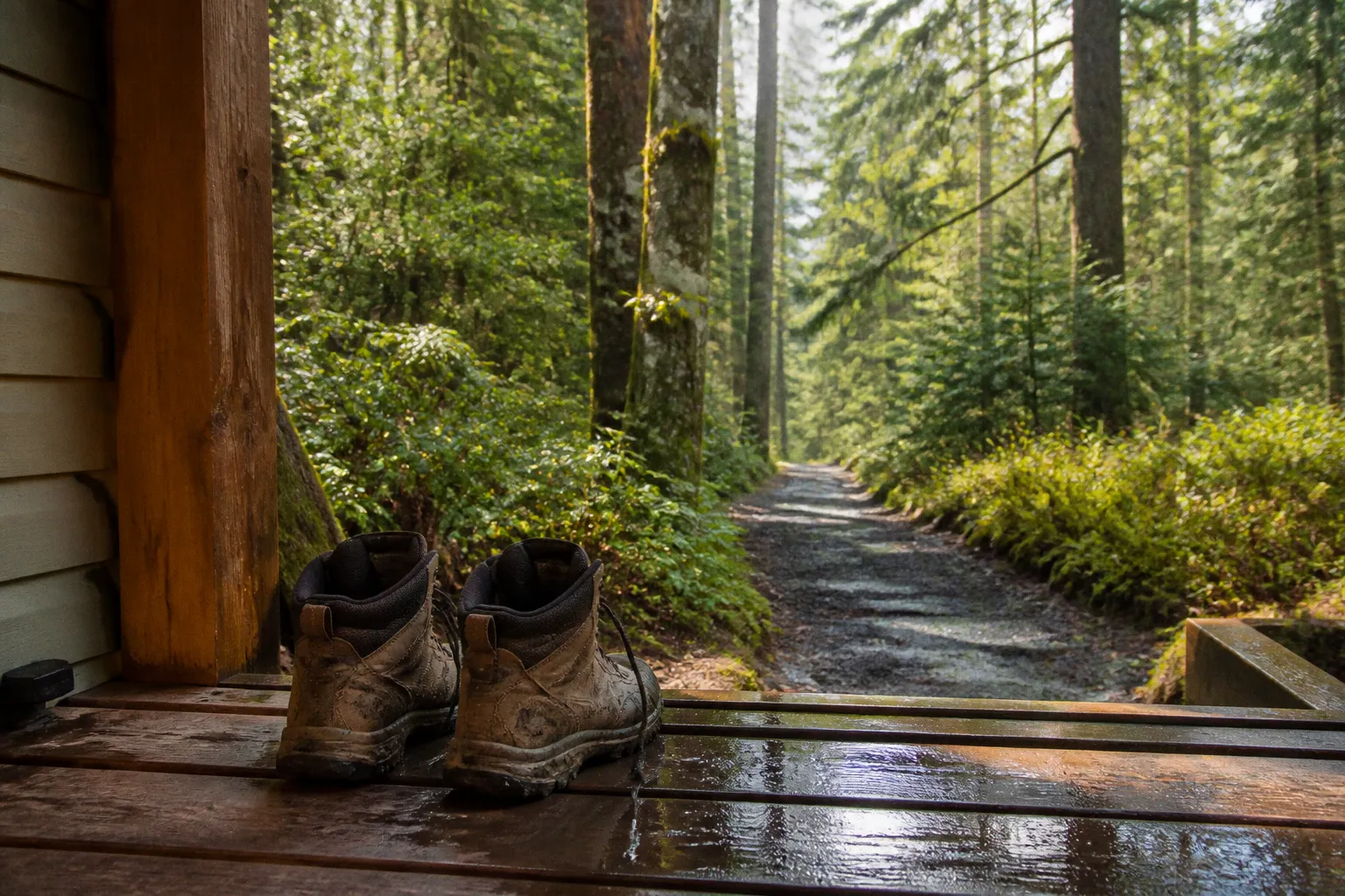
For buyers weighing Kirkland neighborhoods near the Cross Kirkland Corridor, the question is rarely whether the trail is a selling point — that conversation is settled. The harder question is how trail proximity reshapes daily life: which crossings feel safe at dusk, where the corridor's sound buffer dissolves at the path's edge, and which streets actually deliver you to the trailhead without a steep climb back up.
That's the geographical puzzle we walk through below.
The Evolution of the Cross Kirkland Corridor as a Neighborhood Spine
The corridor's bones are old — it ran as a working rail line for nearly a century before Kirkland acquired the right-of-way and began transforming it into the spine of an east-side walkability network. What makes it geographically interesting is how the corridor mirrors the city's topography. The trail begins low, near the South Kirkland Park & Ride where the land flattens out toward Lake Washington, then climbs gently northward through Moss Bay, plateaus briefly through Norkirk, and continues into the rolling terrain of Highlands before terminating in the flatter, more recently urbanized grid of Totem Lake.
For residents, that grade profile matters more than any amenity list. A trail that climbs is a trail you choose deliberately; a flat trail is one you use as a backdrop, a commute, a school-run substitute. The CKC tilts between those two experiences, and the neighborhoods that grew up around it learned to lean in different directions.
What changed in the last decade is the corridor's role as connecting tissue rather than a boundary. Before the trail was paved and opened in segments, the rail line was a back-of-house scar — fenced, overgrown, the kind of feature you only glimpsed from a car window. Today, the canopy along the southern stretch has thickened into a continuous green wall, and the city's investment in lighting, signage, and crossing improvements has shifted the corridor from something you circumvent to something you cross over. That psychological shift is what gives Kirkland homes near the CKC trail a different feel than homes on parallel streets a few blocks away.
The corridor doesn't just connect neighborhoods — it teaches them how to be one neighborhood.
Norkirk and Highlands: Balancing Historic Charm with Trail Connectivity
If you walk to the principal mid-corridor access point on a Saturday morning, you can watch this dynamic play out in real time. Cyclists spill out from side streets that didn't carry foot traffic a decade ago, joggers loop back from Norkirk's craftsman-lined blocks, and parents with strollers push through the canopy gap toward downtown Kirkland. The trail here threads between two of the city's most character-defining neighborhoods, and the housing stock tells the story of that proximity.
The community fabric of Norkirk grew up before the automobile dominated regional planning, and you can see it in the lot widths, the porous front porches, and the way streets like 6th Street still function as social rooms. Houses here tend to sit close to the sidewalk, with the rear yard often backing directly onto the corridor's edge. From a buyer's perspective, that's a spatial gift — you can step out the back gate and be on the trail in thirty seconds — but it also means the corridor's acoustic and visual presence is part of your daily texture. The southern end of the corridor here is buffered by mature vegetation; the northern stretches, where the trail approaches the commercial corridor along NE 85th Street, are more exposed.
Highlands sits one ridge east, and the relationship to the trail changes entirely. Most Highlands homes do not back onto the corridor; they reach it via a series of steeper neighborhood streets that descend to the access points. That means a Highlands buyer gets the trail as a destination rather than a backdrop, which is a different kind of asset. Your morning walk becomes a walk to the trail rather than a walk along it, and the topography creates a built-in transition that some households genuinely prefer. The trade-off is the climb coming home — and on a wet Pacific Northwest evening in February, that climb matters.
For both neighborhoods, the practical question is which access points serve which blocks. We suggest walking the route from your prospective address to the trailhead at the time of day you would actually use it. The difference between a five-minute walk and a fifteen-minute walk is less about distance than about slope, crossings, and sidewalk continuity.
Totem Lake's Urban Transformation and Direct Corridor Integration
The northern end of the corridor is where the geography changes most dramatically. Totem Lake was a low-density commercial strip for decades, and the trail's arrival coincided with one of the largest urban redevelopment pushes in Kirkland's recent history. The Village at Totem Lake, the surrounding apartment blocks, and the new street grid that has reorganized the area around NE 124th Street all treat the corridor as a literal front porch rather than a backyard amenity.
Living near the Cross Kirkland Corridor in Totem Lake looks nothing like living near it in Norkirk. Here, the trail is integrated into a dense urban framework, with mid-rise housing, retail, and office space within a block or two of the path. The corridor functions as a pedestrian throughway, a commute route, and a recreational loop in a single facility. If you cross the trail at the Totem Lake terminus on a weekday afternoon, the volume of pedestrians feels more like a downtown Seattle sidewalk than the suburban trail experience at the southern end.
For buyers, this has produced a particular kind of property. The new construction clusters within a half-mile of the corridor's northern reaches, and the floor plans are shaped by their proximity — ground-floor units frequently open toward the trail, and the architecture uses the corridor as a wayfinding device. You orient yourself by the trail the way an older Kirkland resident would orient by the lake.
Near Totem Lake, the corridor stops being a destination and starts being a daily sidewalk.
The trade-off is density. If you moved to Kirkland for tree-canopy quiet, Totem Lake's corridor-adjacent blocks will feel like a different city. If you moved for walkability, transit access, and the ability to reach a coffee shop, a grocery store, and the trail within a single block, you'll find the equation far more compelling than anything older neighborhoods can offer.
Market Dynamics for Properties Bordering the CKC Right-of-Way
The pricing gradient along the corridor follows a shape familiar to anyone who has watched Seattle's walkable neighborhoods appreciate, with a few local wrinkles. Trail-adjacent properties in the established neighborhoods — Norkirk, Highlands, the southern portions of the corridor — tend to carry a premium that is not always visible in the listing photos. It's the kind of premium that requires a Saturday morning walk to assess: how thick is the vegetative buffer, how busy is the nearest crossing, what does the corridor sound like at the edge of your property line.
| Property Type | Typical Relationship to Corridor | Buyer Considerations |
|---|---|---|
| Norkirk craftsman homes | Often back directly to the corridor's edge | Mature canopy buffer; check sightlines from upper floors |
| Highlands hillside homes | Trail reached via neighborhood streets; no direct backing | Elevation views; steeper route to trailhead |
| Totem Lake new construction | Within a block or two of the corridor's northern end | Higher density; corridor functions as frontage |
| Moss Bay townhomes | Southern corridor access; flatter terrain | Lake-adjacent pricing intersects with trail premium |
| Condos near NE 85th St | Trail crossings integrate with the commercial corridor | Walkability score high; street noise variable |
What we tell clients is that the corridor's premium is real but uneven. Two homes a quarter-mile apart along the same trail can have meaningfully different relationships to it, and the difference shows up in how the property lives day to day. We'd rather see a buyer walk the corridor twice — once at the time they'd typically use it, once at an unusual hour — than analyze comps that don't capture the texture.
The acoustic dimension is the one most first-time buyers underestimate. A forested corridor absorbs sound very differently than a paved open trail. The southern sections, where the canopy has had decades to mature, behave almost like a park. The northern sections, where the trail widens and the surrounding development is taller, carry sound further and the corridor becomes a more visible presence. Both are valid; they're just different daily textures.
Navigating Access Points and Future Expansion Plans for Commuters
The Cross Kirkland Corridor has roughly two dozen formal and informal access points between its southern terminus near the South Kirkland Park & Ride and its northern terminus in Totem Lake, and which ones you use redefines your relationship to the trail. The major street crossings — at NE 38th Place, NE 85th Street, NE 116th Street, and NE 124th Street — function as the primary gateway intersections. Each carries a different character.
The NE 85th Street crossing is the busiest and the most contested. It is also where the corridor intersects with the city's most important east-west commercial corridor, and the resulting density of activity makes it a useful proxy for the area's overall walkability. The southern access points feel more residential and quieter; the northern accesses near Totem Lake connect you into the regional trail network that is still being stitched together.
That regional stitching is the part of the story worth tracking. The CKC is the Kirkland segment of a much larger Eastrail corridor that connects toward Bellevue and the broader Eastside regional trail network. The sections directly adjacent to Kirkland have progressed at different speeds, and the property implications show up at the boundaries. Homebuyers who ask where the trail is going next are typically asking the right question, because the next segment to be completed often produces the most measurable change in surrounding values.
For daily commuters, the practical question is whether the corridor substitutes for a car trip. For shorter trips into downtown Kirkland, the trail often does. For trips across the lake, the corridor feeds into the broader transit corridors at the South Kirkland Park & Ride, which is one of the corridor's most underappreciated assets. The ability to walk five minutes to a transit corridor is a different kind of walkability than a standalone trail, and the homes closest to that intersection carry a different pricing profile.
What to Carry on Your Scouting Walk
When we're walking the corridor with prospective buyers, we suggest a short list of things to check before committing to a Kirkland home near the CKC trail. None of it requires expertise, just attention.
- Walk the trail at your actual use time. A Saturday morning walk tells you almost nothing about a Tuesday evening commute.
- Test the nearest crossing on foot. Count the seconds between hitting the button and getting a walk signal. That number is your daily friction.
- Stand at the property's back fence, if possible. Listen for forty-five seconds. The corridor's sound signature varies dramatically by canopy and grade.
- Locate the nearest formal access point. Some blocks back onto the corridor but have no clean entry point for a quarter-mile, which quietly lengthens every walk.
- Check the canopy from the curb. Listings love to photograph tree canopy. Stand at the sidewalk and look up. The corridor's mature sections genuinely cool a neighborhood; the cleared sections do not.
- Drive the parallel streets at commute hour. Even if you'll never use them, they tell you how the corridor shapes traffic patterns on the surrounding grid.
- Ask about the next trail segment. The pending connections to the broader Eastrail network are early-stage but real, and they will reshape the next several years of property values along the corridor.
The corridor is a piece of infrastructure that has quietly reorganized what it means to live in eastern Kirkland. It is not a gimmick, and it is not a marketing line. It is a six-mile-long conversation between the city's topography and its daily routines, and the homes that sit closest to it are the ones that have learned to listen.